 Margen
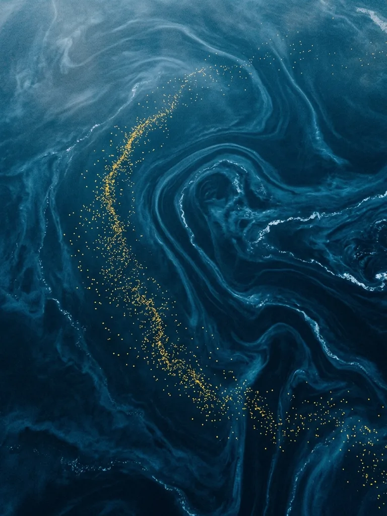
January 10, 1992: the Ever Laurel, a cargo ship sailing from Hong Kong to Tacoma, lost several containers in a North Pacific storm. Twelve metal boxes went into the water that night; only one mattered afterwards. It released 28,800 bath toys, and their positions would end up being used to measure surface currents.
The cargo belonged to Friendly Floatees, a collection made for the children's brand The First Years. It was split into equal parts: 7,200 yellow ducks, 7,200 red beavers, 7,200 green frogs and 7,200 blue turtles. The accident happened near the International Date Line.
The toys carried no transmitters or instruments. Nor had they been designed for a scientific expedition. The storm turned them into thousands of independent markers that could be recognized by their shape, their colors and the maker's brand. What was needed was people able to find them on land and report where and when they had appeared.
The first ones reached Sitka, a coastal town in Alaska, in late November 1992. They had traveled some 3,200 kilometers from the spill zone. Over the following year several hundred figures were recovered across southeast Alaska. Local newspapers spread requests for residents to report their finds, and every report added a verifiable point to the route.
Curtis Ebbesmeyer already knew how to work with a network like that. In 1990 he had tracked the cargo lost by the Hansa Carrier: some 61,000 Nike sneakers fell into the Pacific and began turning up on beaches with serial numbers that tied them to the accident. Ebbesmeyer asked those who walked the coast for news, gathered dates and places, and compared the sneakers' distribution with the water's predicted movement.
That experience meant that when the Friendly Floatees went overboard, the beachcombing network already existed. There were fishermen, walkers and collectors watching for the recognizable remains the tides left behind. Ebbesmeyer coordinated part of that information through Beachcombers' Alert, the newsletter where he published notices, questions and results about cargo lost at sea.
Ebbesmeyer worked in Seattle studying the ocean's movement. James Ingraham, a colleague specializing in modeling, had the tool the reports could be checked against. It was called OSCURS, short for Ocean Surface Current Simulator, and it calculated the likely drift of floating objects on the North Pacific's surface currents.
Ingraham entered the spill's starting position, the time of year and the available conditions. The program generated possible trajectories. Documented landfalls made it possible to check, in a single operation, whether those predictions matched the actual route. A figure identified by its brand, with a beach and a date attached, counted as an observation; a similar toy without sufficient identification was left out.
The reports also helped adjust how much the wind was involved. A plastic duck rides higher in the water than a buoy and offers the air a different surface. If the model treated both objects the same way, the prediction drifted off. By comparing the calculated routes with the landing points, Ingraham was able to revise the effect attributed to wind on light objects.
Scientific buoys transmit more precise data, but they are expensive and deployed in limited numbers. Here there were tens of thousands of markers from the same shipment, released on a known date in a known area. They sent no data during the voyage, so they revealed only the endpoints of the journey: the accident site and the beach where they ended up.
The model anticipated later arrivals on the coast of Washington, the freighter's original destination. It also indicated that part of the cargo would remain inside the North Pacific Gyre. A toy could take around three years to complete the circuit. Reports received in different years helped distinguish an early arrival from one that came after an extra lap.
The calendar was decisive. Two figures found in the same region could have followed different routes if one appeared in 1993 and the other in 1996. Some left the main circuit, some rejoined it, and others sat stranded for a while until a tide moved them again. The map showed no continuous individual itinerary, but it did show patterns repeated across many recoveries.
Some of the toys pushed north and were trapped in Arctic ice. The ice could hold them and carry them toward an exit into the North Atlantic. That mechanism stretched the journey out over years and made it possible to propose a connection between two ocean basins, though identifying a specific figure after so long required it to keep enough traces of its origin.
Around 2007, possible finds were reported on the southwest coast of the United Kingdom. The figures described were bleached by the sun, and some, according to the reports, still bore The First Years' brand. The company went as far as offering a 100-dollar savings bond for every British duck that could be linked to the spill. In the end, none passed conclusive verification.
Over the years it was said that the ducks had sailed every sea, though three quarters of the cargo were other figures and several famous landfalls were never confirmed. The solid data came from identifiable specimens whose landing places were consistent with the predicted routes.
The story carried on beyond the model. Ebbesmeyer turned Beachcombers' Alert into a meeting point for documenting sneakers, gloves, plastic parts and other cargoes. In 2011, the journalist Donovan Hohn published Moby-Duck after following the toys' trail and traveling on freighters and icebreakers. The accident thus moved from coastal newsletters into an investigation of ocean shipping and floating debris.
The Friendly Floatees measured no temperature, depth or speed along the way. Their usefulness was narrower and more concrete: testing surface routes through many landing points. The result depended on someone picking up a figure, reading its brand and sending in a reliable report.
The full figure also corrects the popular memory. The Ever Laurel did not spill 28,800 rubber ducks: it spilled 7,200 ducks, 7,200 beavers, 7,200 frogs and 7,200 turtles. Together they provided an accidental series of markers with which Ebbesmeyer and Ingraham could put the calculated course of the North Pacific to the test.