 Margen
Did you know? · From the Margen catalogue
In 1960 an earthquake measured 9.5 and the sea reached Japan
22 May 1960, 3:11 in the afternoon in southern Chile: the ground moved for about ten minutes and seismographs across half the world ran off the scale. The number that earthquake carries today, a moment magnitude of 9.5, is the largest ever measured with instruments, and it was worked out a good while afterwards: the moment magnitude scale did not exist in 1960. Sixty-six years later, there still has not been another like it.
The figure is misleading because it looks like a mark out of ten. Moment magnitude is logarithmic: each whole point means roughly thirty-two times more energy released. Between the 8.5 of a devastating earthquake and the 9.5 of that day there is no single step up; there are thirty-two.
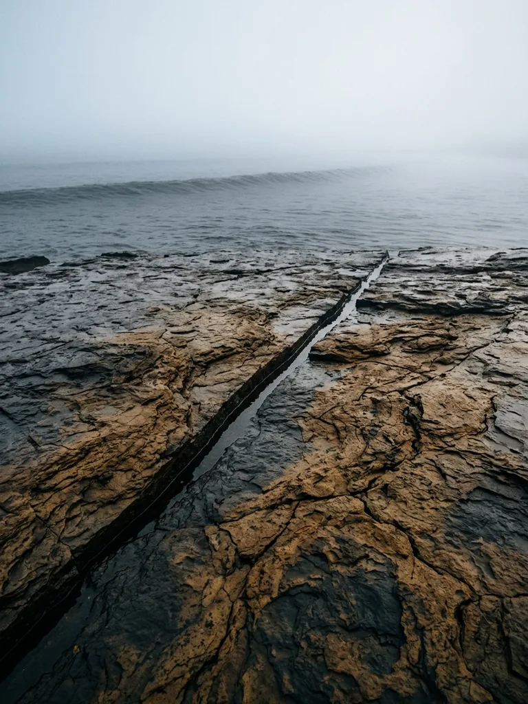
What gave way was a stretch of fault around a thousand kilometres long — the distance from Barcelona to Paris by road — where the Nazca plate slides beneath South America. Whole sections of coast dropped nearly two metres at a stroke and stayed down. On the Cruces river, north of Valdivia, the water came into cattle pasture that never dried out again: today it is a protected wetland full of black-necked swans.
From that point on the story stops being Chilean.
Out in open water, a tsunami wave rises only a few tens of centimetres and passes under a ship without anyone on board noticing. What makes it dangerous is the speed: it crosses the ocean at around 700 kilometres an hour, the cruising speed of an airliner. When the sea floor becomes shallow, the bottom of the wave slows down and all that energy rears up against the coast.
Hilo, the main town on the big island of Hawaii, was warned. The sirens went off at night and the sea came in before dawn, fifteen hours after the quake. Some people had walked down to look at the bay, or had gone home between one wave and the next. Sixty-one died and the waterfront was flattened; Hilo decided never to build on the low strip again, and that ground is a park today.
The wave carried on west. Twenty-two hours after the earthquake, 17,000 kilometres away — half way round the planet — it reached the Pacific coast of Japan. In Ofunato and other ports in Iwate prefecture it took houses and boats with it. Around 140 people died there because of a tremor that had happened in the other hemisphere while they slept.
Five years later, on top of an observatory that had been running in Honolulu since 1949, UNESCO coordinated the first international Pacific tsunami warning system. Its whole reason for existing fits into a sum from that night: the water takes fifteen hours to get from Chile to Hawaii and twenty-two to reach Japan, and in twenty-two hours there is time to walk uphill.